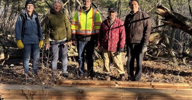
High water could be here a while
By Jake Davies - West Carleton Online
WEST CARLETON – Experts warn high water could be around a while as the northern snowpack hasn’t begun to melt yet.
“There’s still metres of snow in the northern regions,” Ottawa River Regulation Planning Board (ORRPB) senior water resources engineer Michael Sarich said in an interview today (April 24).
The current rising water is caused from local runoff and snow melt. The Ottawa River is expected to peak this weekend. But the high water may be here for a while as the northern runoff causes a “second peak” for the river.
The two spring peaks are normally about three weeks apart as reservoirs and dams further up the Ottawa River release the melt and runoff they’ve been holding back.
“It’s going to be a period of high water for some time,” Sarich said.
Sarich said the first peak is usually the higher of the two.
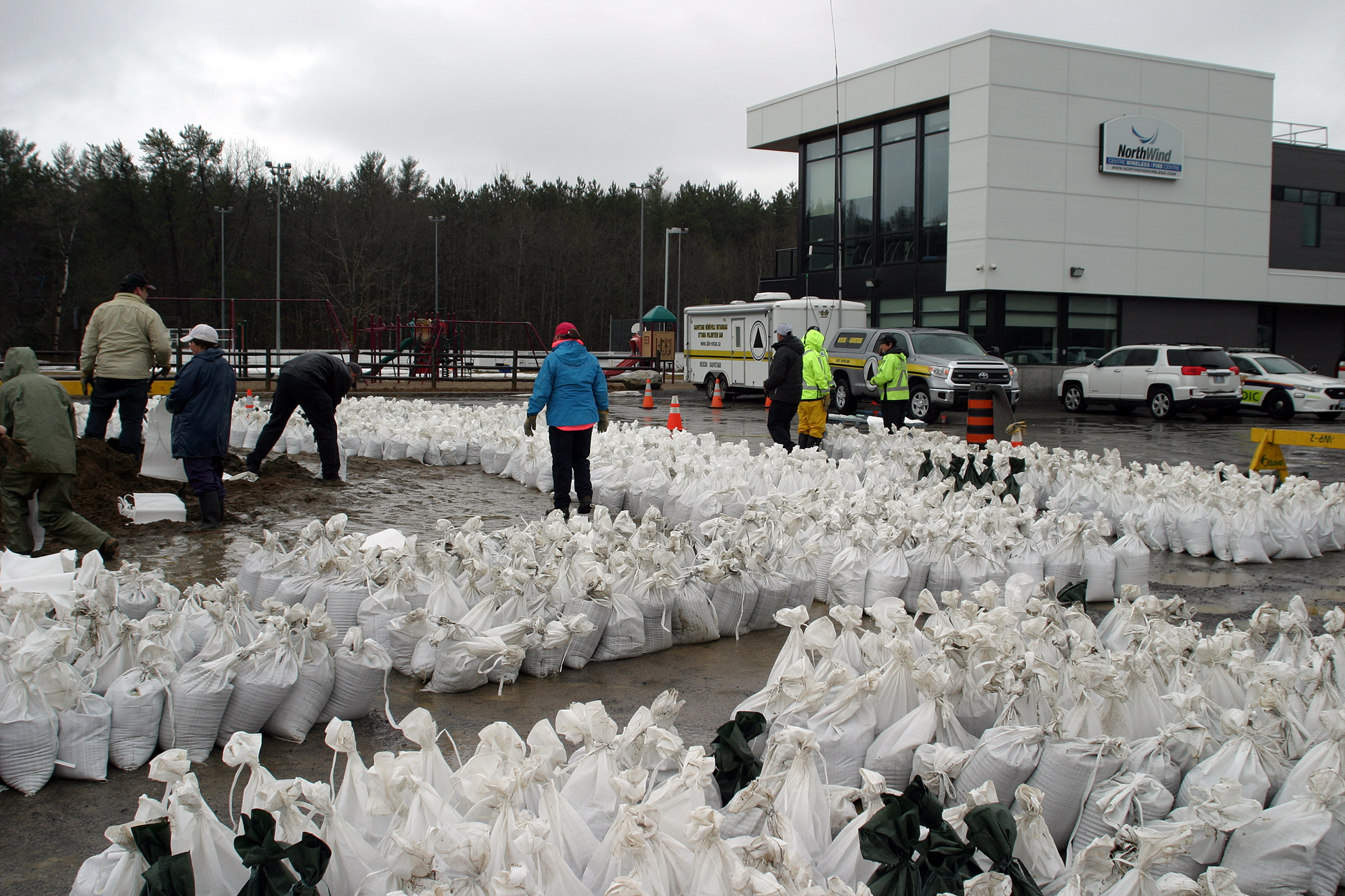
As the City of Ottawa and West Carleton residents along the Ottawa River prepare for this weekend’s peak, expected to be similar to the peak in 2017, the city is extending sandbagging operations in Constance Bay.
“Volunteers are invited to support flood preparations in Constance Bay on Thursday, April 25 and Friday, April 26 during extended hours from 9 a.m. to 7 p.m.,” Ottawa staff released in a statement today (April 24). “The number one priority is to fill sandbags and support homeowners along the Ottawa River in danger of flooding.”
The check-in location for volunteers will be at the NorthWind Wireless Fiber Centre at 262 Len Purcell Dr. Organized sandbagging operations will run from 9 a.m. to 7 p.m.
Volunteers should prepare accordingly and be dressed appropriately.
Meals will be provided to all volunteers. However, if someone has a food allergy or special dietary requirement, it is recommended that they bring their own food or snacks.
The ORRPB’s latest River Conditions Forecast calls for the Ottawa River to “continue to rise due to increased runoff from recent rainfall and snowmelt over the central part of the basin.”
“For the Lake Coulonge to Lac Deschenes reach, levels have exceeded major flood levels early today and will continue to increase over the next few days,” the ORRPB said. “From Ottawa/Gatineau down to Hawkesbury/Grenville, water levels are expected to rise slowly today and more rapidly over the next few days. Peak levels similar to those observed in May 2017 are possible in all locations but will depend on actual temperatures and precipitation over the next few days. Reservoirs throughout the basin are being used to store runoff and minimize flooding.”