MVCA shares Carp River floodplain map
By Jake Davies - West Carleton Online
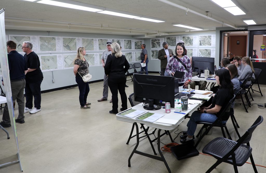
KANATA – It was the best attended Mississippi Valley Conservation Authority (MVCA) floodplain map open house the organization has ever held, but at least one West Carleton farmer was not pleased with the timing or the location of the event.
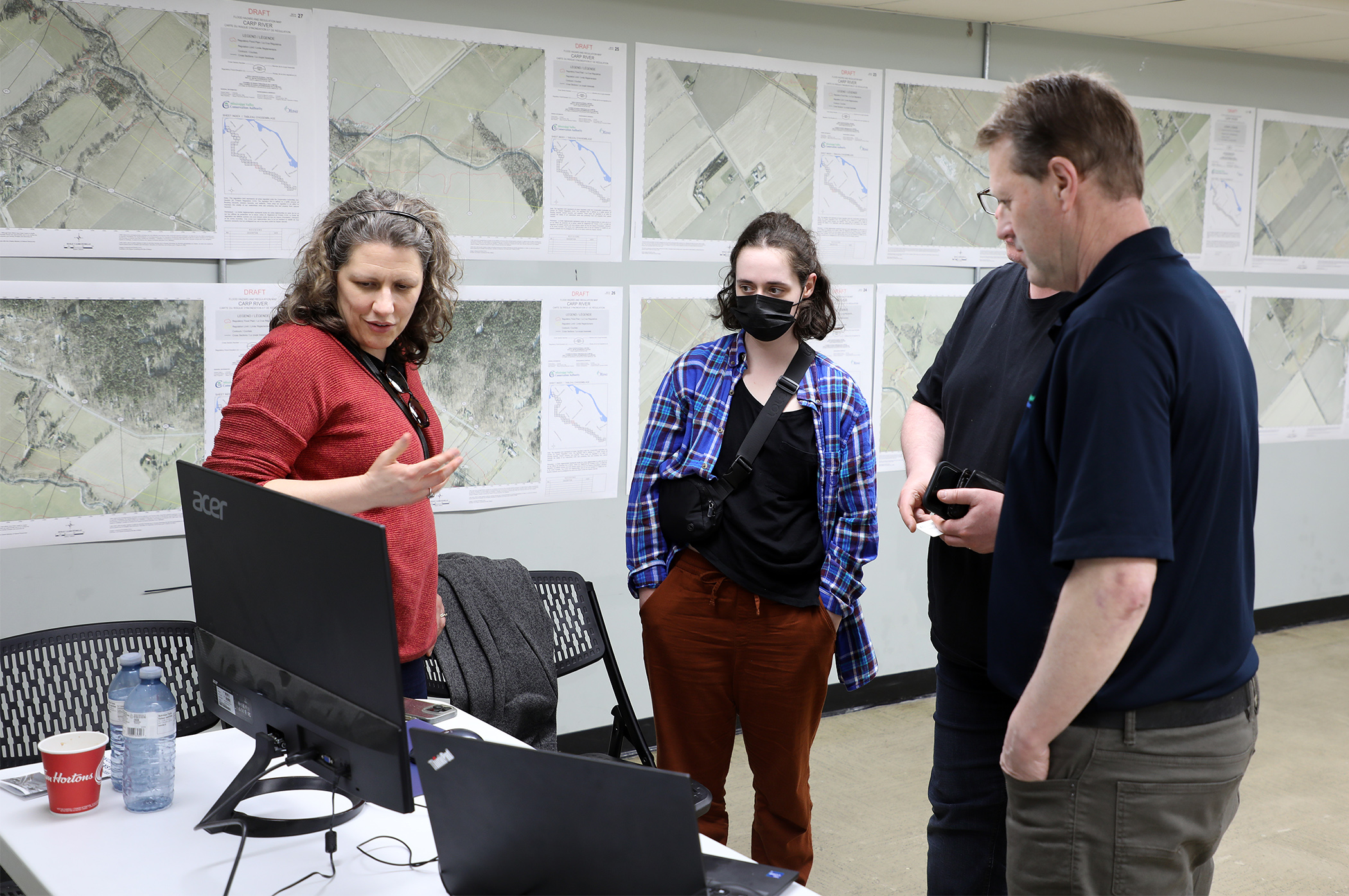
Thursday (May 2) the MVCA shared its updated draft of the Carp floodplain map at the Beaverbrook Community Centre in Kanata.
The MVCA, in partnership with the City of Ottawa, was sharing the results of the roughly $200,000 Carp River floodplain draft mapping project with the public – a draft that will go back to the drawing table for potential revisions after public input.
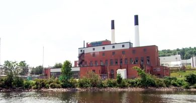
The Carp River is a major watershed in the MVCA’s jurisdiction and has been identified as one of the MVCA’s highest flood risk areas in a 2022 Flood Risk assessment Study. Indeed, considerable flooding has occurred along the Carp River in 1998, 1999, 2005, 2008, 2009, 2014, 2017, and 2019. With extensive new development near the start of the river in the Kanata area, MVCA Planning and Regulations manager Matt Craig told West Carleton Online the update “was very much needed.”
The MVCA was able to use technology not available in 1983 to provide much more accurate mapping. The project uses Light Detection and Ranging (LiDAR) mapping, which involves shooting a laser from an airplane to the ground to provide the most accurate elevation mapping available currently.
On Thursday night it was all hands on deck for the MVCA with the new draft maps lining the walls, computers at the ready and close to 10 staff ready to provide answers and record feedback.
“It’s an opportunity for the public to come and see the map, ask questions to staff and provide feedback,” Craig said. “It’s an open forum and drop in. If they have follow-up questions, we’ll be able to get back to them.”
While some West Carleton residents wondered why the meeting was held in Kanata with the majority of the Carp River located in Carp, the MVCA had its reasons.
“It’s the top of the watershed where a lot of development has taken place in the last few years,” MVCA director of engineering Dr. Juraj Cunderlik, who has a PhD in engineering, told West Carleton Online. “It’s kind of easy to access for the majority of residents.”
Cunderlik says despite the huge advances in mapping technology since the last update, the floodplain itself for the Carp River, hasn’t changed that much.
“Not significantly,” Cunerlik said. “The flood elevations and the floodplain changes from place to place but really those changes are local. In general, we’re in the same ballpark. It pretty much hasn’t changed significantly since 1983.”
“The urban area was subject to restoration work, so there’s been some changes there,” Craig said. “Those were expected.”
“The restoration project happened between 2016 and 2018, so the new mapping reflects that work,” Cunderlik said.
As the MVCA gets ready for the next phase of the project, they will continue to accept comments until May 7.
“We’ll be addressing all the comments, and we’ll be presenting the study to our board of directors,” Cunderlik said.
All the maps are available to view on the MVCA website.
“We sent mail with this information to all residents who have property along the river,” Cunderlik said.
The $200,000 cost of the project was split between the city and the MVCA.
“Something worth mentioning is all projects that are within a partnership with the City of Ottawa are subject to an independent third-party technical review,” Cunderlik said.
Kinburn area farmer John Eastman attended the meeting and said two of his properties back on to the Carp River.
“I have two properties that are affected by this change,” Eastman told West Carleton Online. “Affected in a negative way. Some of our properties we won’t be able to build on. You can’t do any building without a permit within the meander line. We have a retirement lot that two buffer zones cut across. If you want to put house and a septic there, you have to have permission.”
Eastman said he was lucky to even be able to attend the open house.
“The timing stinks for farmers,” he said. “It’s not good for any of the West Carleton residents to have to come to Beaverbrook. Not just that, it’s May 2. If it had not been really wet for the last week or so, I and every other farmer would be planting. It almost feels like it was planned on purpose so they wouldn’t have to deal with any angry farmers. They say it’s draft, but without opposition, I guess they would just go ahead and do it. I’m not sure if comments would change their minds. I have my doubts, but I have my hopes too. A lot of the farmers may not be able to comment online. They’re not computer literate. Maybe they don’t know it’s happening.”
Following the open house, the project will undergo review and approval by MVCA at the May 13 MVCA board of directors meeting.