WC expecting 30 to 40 cm snow starting Wednesday evening
Special to WC Online
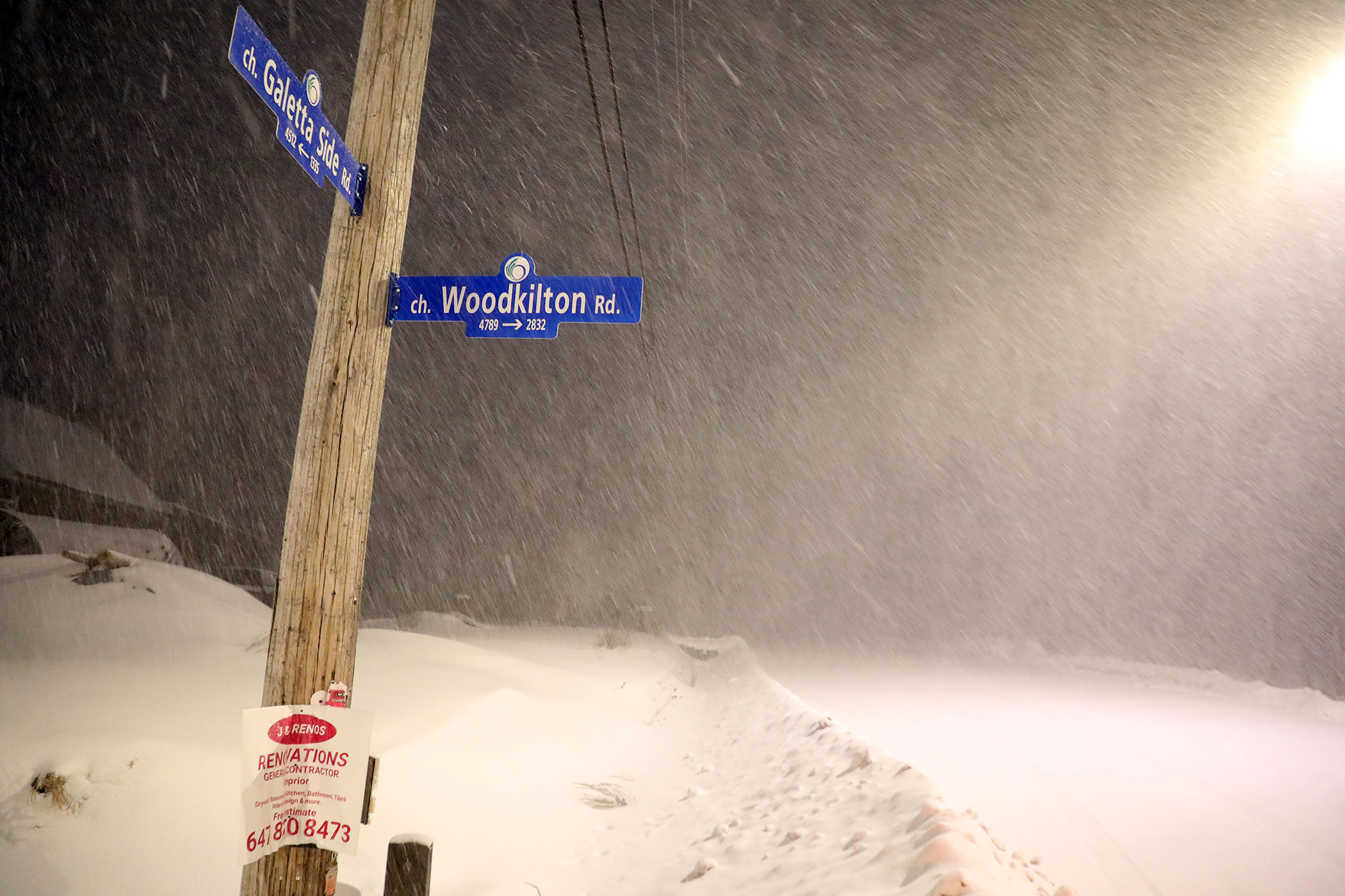
WEST CARLETON – West Carleton may wake up to a thick blanket of snow Thursday (Feb. 13) morning after Environment Canada is expecting 30 to 40 centimetres to fall starting Wednesday (Feb. 12) evening.
“A highly impactful winter storm Wednesday evening into Thursday,” Environment and Climate Change Canada released in a statement today (Feb. 11). “Total snowfall amounts of 30 to 40 cm. Peak snowfall rates possibly exceeding five cm per hour.”
Expect poor visibility in heavy snow. The winter storm is expected to begin Wednesday evening and ending through Thursday afternoon.
“The heaviest snow is expected to fall Wednesday night into Thursday morning,” Environment Canada said. “Total amounts of up to 40 cm are likely. This winter storm will impact the Thursday morning commute. Snow will gradually taper off through Thursday afternoon.”
Emergency responders are encouraging residents to stay off the roads.
“Avoid travel, if possible,” Environment Canada said. “Rapidly accumulating snow will make travel difficult. Road closures are possible. There may be a significant impact on rush hour traffic in urban areas. If you must travel, keep others informed of your schedule and destination and carry an emergency kit and mobile phone.”
Public Safety Canada encourages everyone to make an emergency plan and get an emergency kit with drinking water, food, medicine, a first-aid kit and a flashlight.
For information on emergency plans and kits go to getprepared.gc.ca.